Residents concerned about Ospringe drainage plan

ERIN – Residents living between the Eramosa River and a new subdivision under construction in Ospringe are afraid a proposed drainage plan could actually worsen flooding in the area.
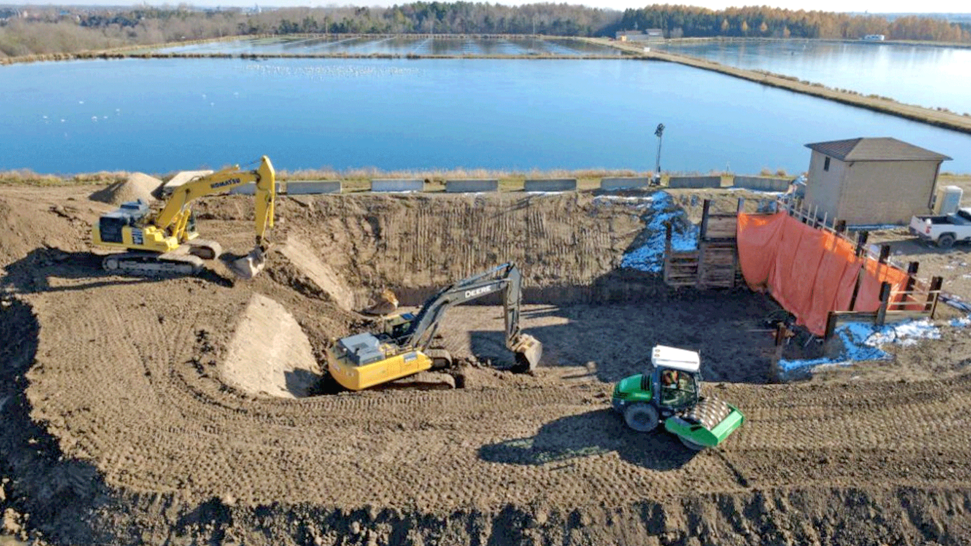
Erin council hosted a public meeting on Feb. 4, including a presentation by engineer Neal Morris, a consultant hired to analyze how drainage should be designed for the 60-home development, which includes a park and a stormwater pond.
The project by Thomasfield Homes is on a 45-acre parcel of land south of Wellington Road 124 and west of Wellington Road 125.
Water will drain east under Wellington Road 125, along an established route on private land, and be joined by drainage from most of the lots in the hamlet north of Wellington Road 124, including the existing Pidel subdivision stormwater pond, before emptying into the Eramosa River.
Thomasfield Homes will pay the $481,980 cost to build the drainage system, including improvements on other properties.
Morris said if the town needs to do maintenance on the ditch in the future, property owners throughout the hamlet that benefit from the drainage would have to pay a share of the cost. He stressed the system is designed to be low maintenance.
All members of council have been appointed to a Court of Revision that will hold a hearing at town hall on March 3 to deal with residents’ appeals on their share of future costs, as well as issues with the proposed system.
During heavy rains in January, some low-lying land was flooded by the Eramosa River.
One owner said even if the ditch is made wider and deeper, it could be below the river level at times, and extra water from the new subdivision could make the flooding worse.
Morris replied there is an elevation drop of about 3.5 metres in the area approaching the floodplain, and that he did not believe the ditch would be below the river level.
“Our water situation is very bad – the water’s coming up and the place is saturated,” said Max Schotsch.
“If nothing is done before the spring runoff, we’re going to be flooded. If you’re going to do something, do it before we get drowned.”
Morris said currently the draining water has no direct route to the river, but is diffused by plant growth that creates a wetland.
He said the new drain will “clear an area through there.”
Morris said the upper end of the drainage system is designed so it would only be overflowed by a storm on average once every 100 years, while the lower end has only a two-year rating.
When the lower end floods, he said, the improved ditch will enable the land to drain much more quickly.
Morris added that under the Drainage Act, if a property owner wants a higher level of drainage than is considered necessary by the engineering report (for example, a concrete-lined culvert), they would have to pay the additional cost.
Residents have suggested alternative routes to the river, either along the south side of Wellington Road 124 or the west side of Wellington Road 125, but these would be much more expensive.
And in the case of Wellington Road 125, Morris said it would be unsafe due to the depth of ditch required.